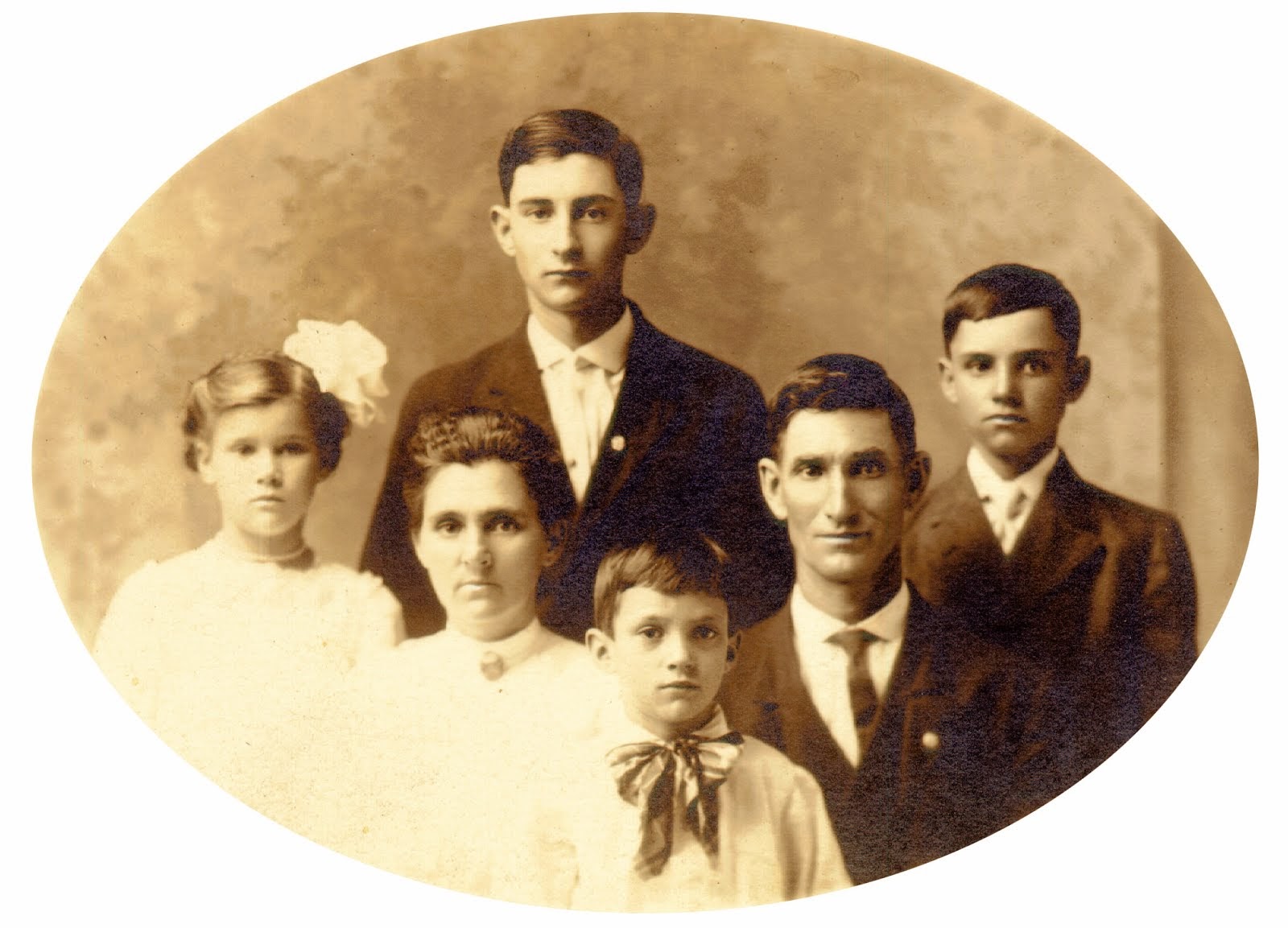
This is the eighth in a series on my Civil War ancestors
Edward Windsor and Susannah Bryant Moore
I will share a few search tips today, along with the family info.
Edward and Susannah were married in Orange County, Indiana September 4, 1823 by John Moore, a Justice of the Peace. This was probably Edward's older brother, who also settled in Orange County.
I don't know their exact whereabouts before 1838. They were in Orange County up until then except for a brief visit to Illinois where other family had gone. It appears they liked Orange County better and came back.
Edward and Susannah were married in Orange County, Indiana September 4, 1823 by John Moore, a Justice of the Peace. This was probably Edward's older brother, who also settled in Orange County.
 |
| Orange County, Indiana Marriage Records |
On September 1, 1838, Edward Windsor Moore (and this is the only time I can recall him spelling out the Windsor) purchased 40 acres of land.
 |
| Edward Moore Land Patent 1838 |
I found this document on Ancestry, but you can search land records free on the Bureau of Land Management's site, General Land Office Records. I typed in Moore, Edward, Indiana, and Orange County. It gave me a list of properties fitting these criteria. By clicking on the icon next to mine, I could view this exact same document at no charge.
Handwritten into the form is the property description. Happily, Indiana uses the Township and Range system. It looks like a lot of mumbo jumbo, but if you parse it out, you can go look at this property as it appears today on Google Earth. Want to see it, or some property your ancestors owned?
First, have your property description handy. Then go to this site, Earth Point. This is another free site. Down the menu bar on the left, in the section called Township & Range, click on Search by Description. Fill in all the drop-down menu choices there, then click Fly To On Google Earth. (By the way, Google Earth is also free, and can be lots of fun to mess around with.) I'll show you what I got for Edward's land description. First, a general overview showing his 40 acres in purple. The town of French Lick is nearby to get your bearings.
 |
| Edward Moore's 40 acres at T1N R2W Section 14 |
Now to zoom in a little.
 |
| Edward Moore's 40 acres zoomed in |
And finally, I wanted to see where this property was in relation to Moore's Ridge Church and Cemetery. I typed "Moores Ridge Cemetery" into Google Earth and got this picture.
 |
| Edward Moore's 40 acres relative to Moore's Ridge Cemetery |
 |
| Grave of Sarah Barbara Thrush Alspaugh Crout at Moore's Ridge Cemetery |
And how did I get these pictures? When you are satisfied with what you have on the screen in Google Earth, go to the File menu, down to Save, then select Save Image. It will put a little .jpg on your computer for you. Tada!
I've spent a lot of time with using the land records here, so let me briefly describe the Moore family when they got this land. Edward was nearly 36, Susannah 34. They had six children living with them on their farm, including Sarah age 14, Barbara age 10, William Bryant age 8 (my ancestor), Martha age 6, Edward age 4, and Clarissa age 1. They had already buried their firstborn son, John. He had died in 1832 at age 6. I learned from the pension file that they pretty much lived on what the farm produced with little extra to sell, like many families at that time.
More on the family before the war next time.

No comments:
Post a Comment